Bayou, Canal & Basin Crossings
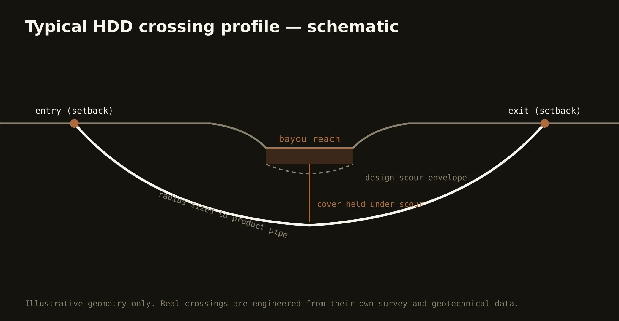
Water writes the parish map, and utility routes cross it everywhere: the bayous that predate the city — St. John, Sauvage, Barataria's fringes — the engineered drainage canals and outfalls that keep the urban parishes dry, the navigation channels of a working port region, and the lake basin's edges from the south shore's seawall to the north shore's marinas. The signature delta bore runs beneath them: entry and exit set back from banks and floodwalls, a profile holding cover under channel or canal section, and an exit that leaves the drainage geometry exactly as its engineers require.
The authority stack is the deepest in the portfolio, and honesty about it is the local product: levee districts and the flood-protection authorities on anything near the system, federal interest wherever protection integrity is in play, the drainage operators on the canals that pump the city dry, navigation and coastal interests on the working waterways, and the parish or road owner layered over all of it. Our quotes map the full stack for your actual crossing and schedule to its real clocks — on this water, the review is the schedule.
Technically, these crossings are soft-ground engineering at full concentration: organic layers in the sag, buoyancy management through saturated clays, settlement-aware cover design, and fluid discipline run tight because a return into a drainage canal is a pumping-system incident. Containment on both banks, conservative pressures, and the response plan written before the pilot — in the city that engineered its own dry land, that's just professional citizenship.