Directional Drilling in Greater New Orleans
The softest ground in urban America, a city that lives below the water it's famous for, and a levee-and-pump system that turns every crossing into an engineering conversation. Delta HDD is settlement-aware, parish-fluent work — and it's ours.
HDD is the whole job here
New Orleans is built on the youngest, softest ground any American metro sits on — deltaic clays, silts, and buried organic layers the river laid down and never finished compacting. Drilling it is less about force than about finesse: the ground steers like butter and holds nothing against you, but it also settles, squeezes, and remembers every load. Delta HDD is settlement-aware engineering — buoyancy calculated, not assumed; profiles designed for ground that moves over decades; organics anticipated where the old cypress swamps lie buried under neighborhoods.
The metro's defining infrastructure is its defense: the federal-and-local levee system ringing the urban parishes, the outfall canals and pump stations that lift the city's rain over its own walls, and the drainage arithmetic that makes dry land here a continuous act of engineering. For utility crossings, all of it is regulated ground — levee-district rights-of-way with serious engineering review, federal interest wherever the flood system's integrity is in play, and a permit culture that has zero humor about anything touching the protection. Our quotes treat the levee world as the schedule's spine, because here it is.
The work itself spans the metro's registers: hardening and rebuild programs that never really end in hurricane country, the river parishes' industrial corridor with its plant-scale utilities, fiber and power renewal through some of the oldest street grids in America, and the north shore's growth running on completely different — and blessedly firmer — ground. Behind it all sits the network desk — 50,000+ boring calls answered, ~10,000 crossings quoted, 2,000+ drilled — pricing delta scope with the softness already in the math.
Fiber-Optic Boring
Renewal through historic grids, hardening builds, and north-shore growth fiber.
Electrical Duct Boring
Hardening, rebuild, and plant-corridor power in hurricane country's capital.
Water & Force-Main Boring
Pressure pipe for systems rebuilding a century of mains in ground that moves.
Bayou, Canal & Basin Crossings
The signature delta bore: under the waterways that define the parish map.
Road & Highway Crossings
Parish, municipal, and DOTD crossings — with the delta's softness priced in.
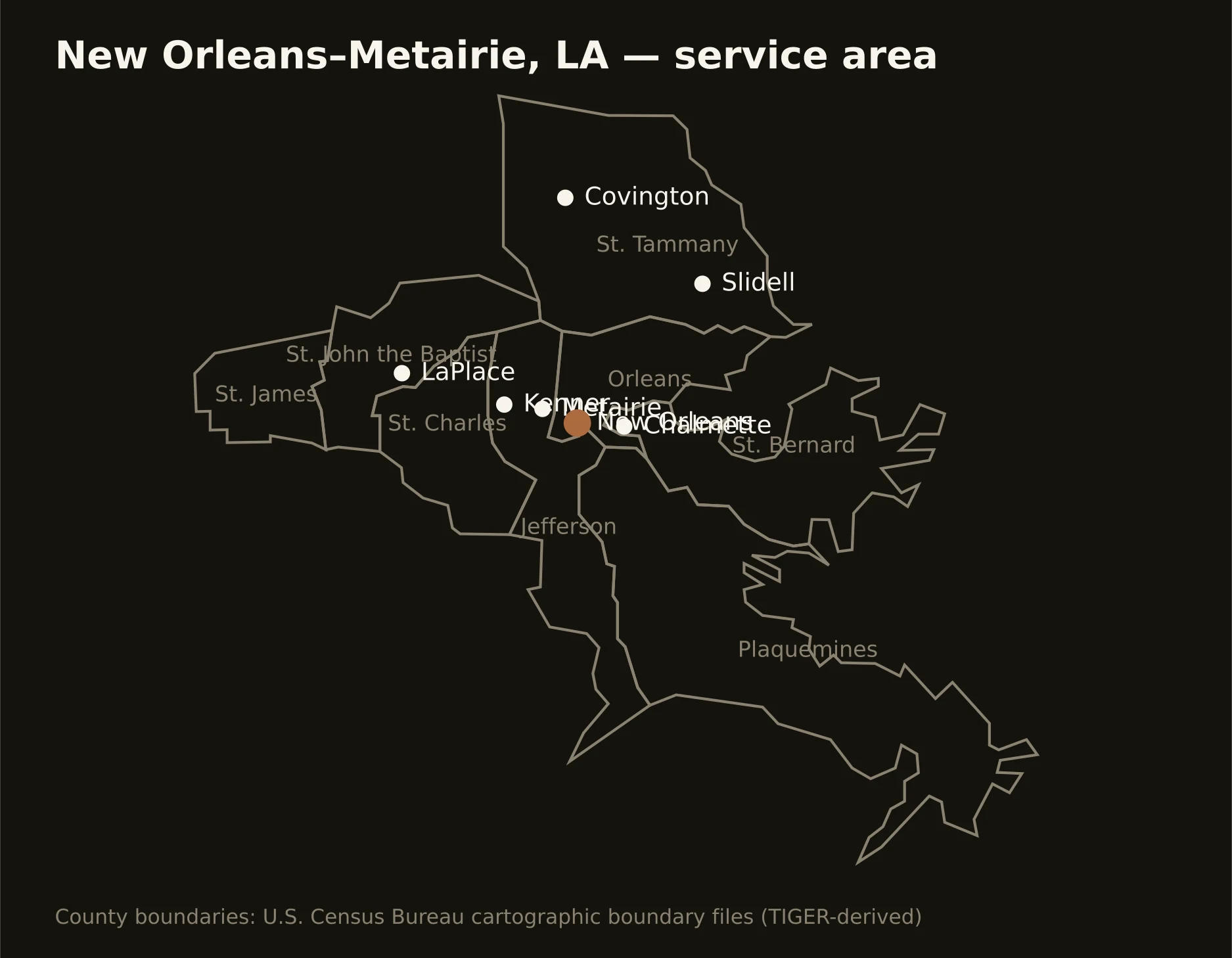
Eight parishes from the river's industrial corridor to the north shore's piney ground — Orleans and Jefferson inside the flood-protection perimeter, the river parishes' plant country upriver, and St. Tammany across the lake living on different geology entirely. Full county list on the service-area page.